Skytrails
A small single-engine aircraft flying over an alpine lake at sunset. (AI-generated image)

Flight log · Live map · Badges

Your flights, remembered and shared.

Skytrails is the flight diary and community app for private pilots. Record every flight by GPS, watch your friends fly live on a 3D map, and collect the airfields, castles and summits you have flown past.

Coming soon to theApp StoreComing soon toGoogle Play

Free · iPhone & Android

  • GPSRecording in the background
  • 86kAirports on the 3D globe
  • 70+Badges and records
  • 0Ads and tracking SDKs

Everything that counts after landing.

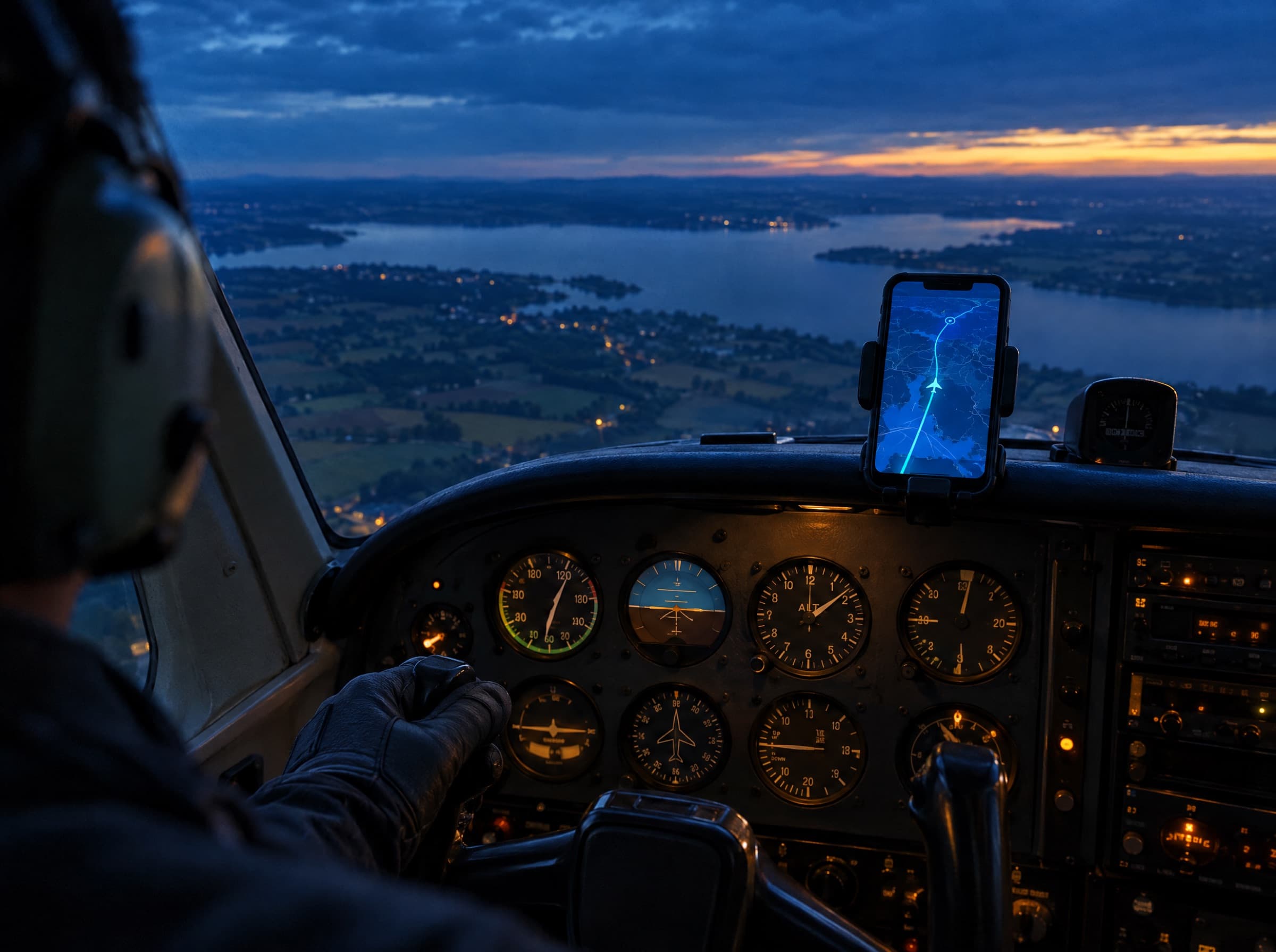
Over-the-shoulder view of a pilot in the cockpit, a smartphone showing the flight track. (AI-generated image)

Logbook

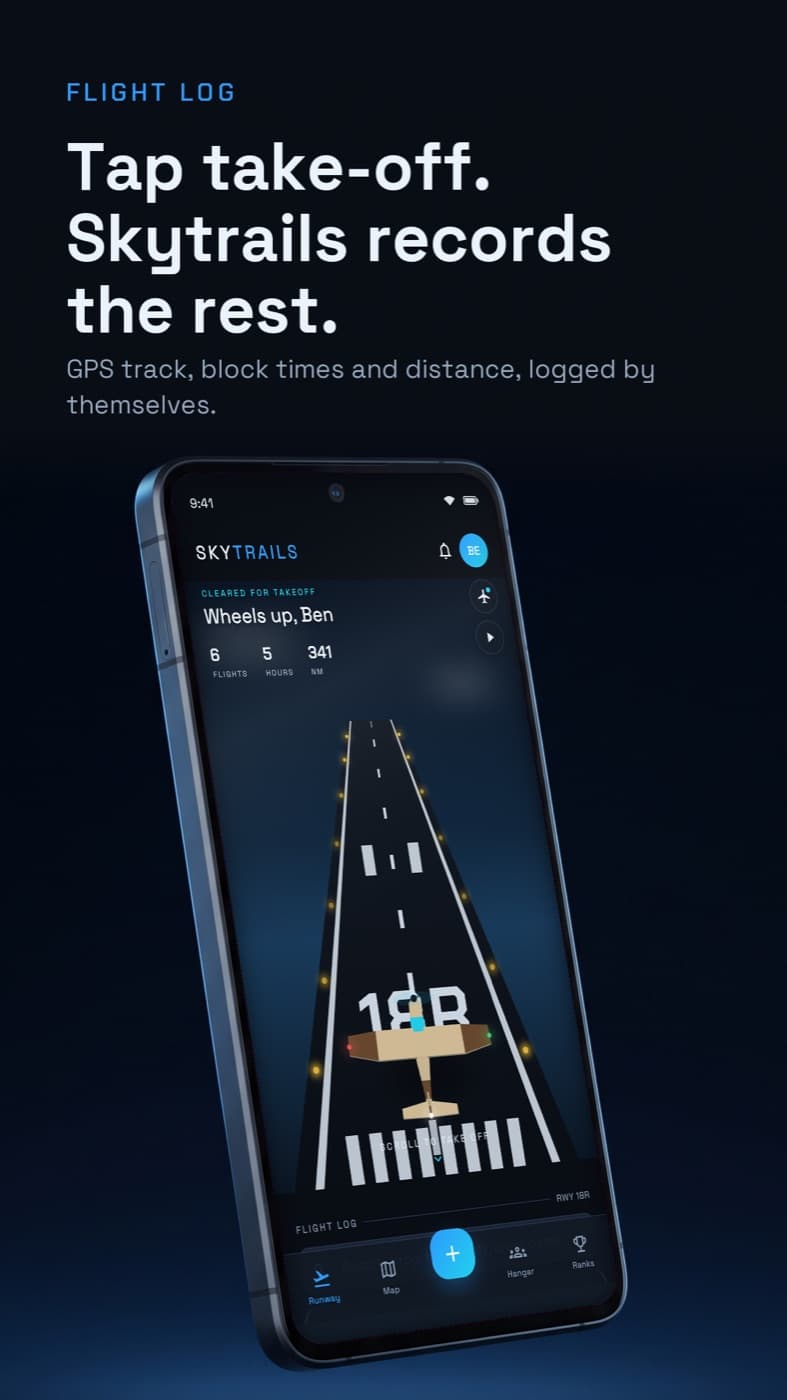
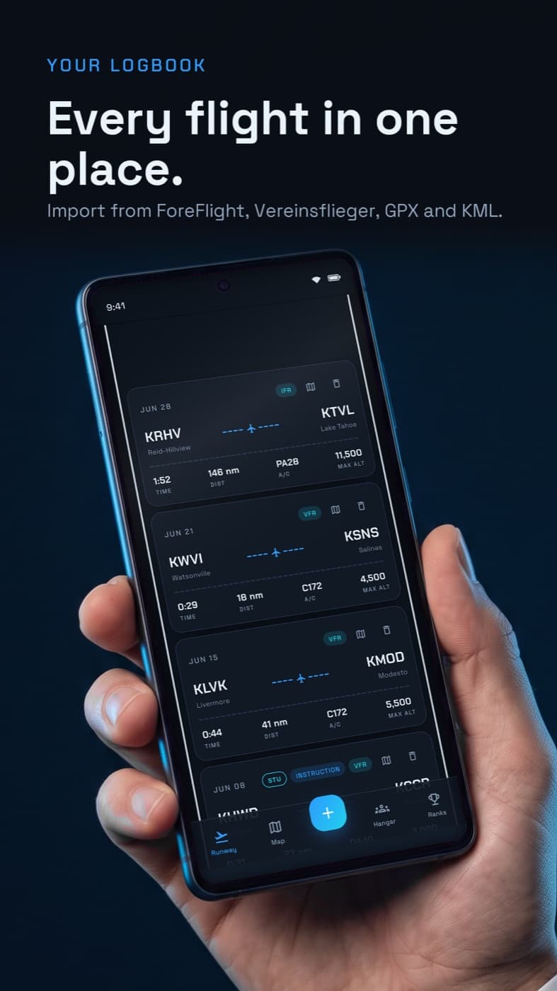
Record every flight

Tap take-off and Skytrails records your track by GPS, in the background and with the screen off. Out, off, on and in times fill themselves, and the distance is measured along your track.

  • Import from ForeFlight, Vereinsflieger, GPX, KML and GoPro videos
  • Photos you took in the air are found for you by time
  • Log crew as PIC, PF/PM or passenger — one phone records for everyone
Two small propeller aircraft flying in formation over a rugged coastline with a bridge. (AI-generated image)

Spot Map

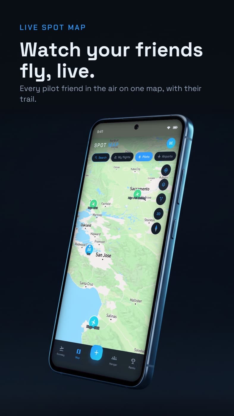
Watch your friends fly, live

A 3D globe with terrain, satellite imagery and the real day-night line. Friends who share their position show up as live aircraft — and when a phone goes quiet, Skytrails follows the aircraft on public ADS-B data.

  • “Wheels up” and “Landed safe” to your ground crew with one tap
  • A live notification on your friends' phones
  • You decide who sees your position — it ends with the flight
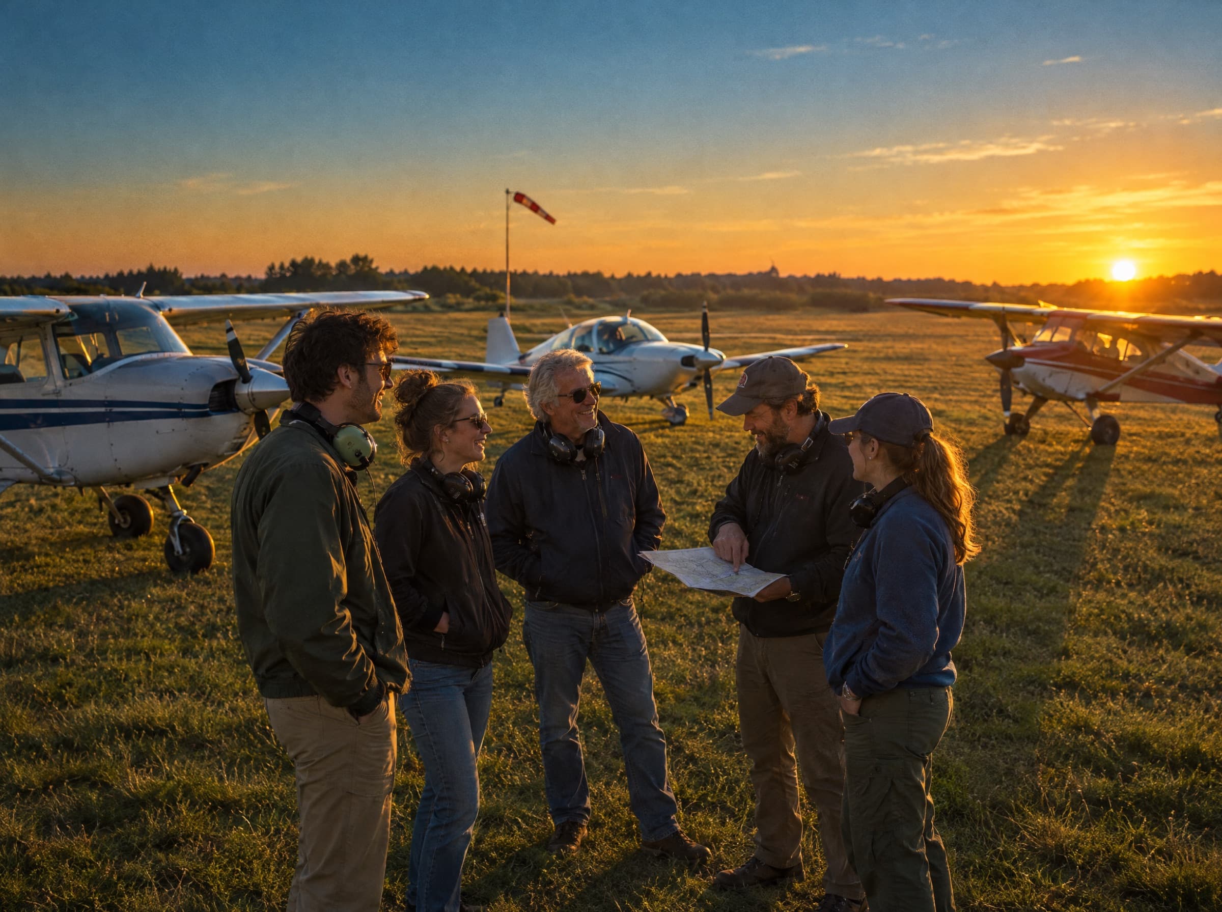
A group of pilots chatting next to their aircraft on a grass airfield at sunset. (AI-generated image)

Community

Fly out together

Join your club with an invite code, share updates and photos in the Hangar feed, and rally other pilots for the next fly-out.

  • Closed groups for your flying club
  • Airfields and spots rated by the pilots who actually landed there
  • Report and block right in the app
View over a wing onto a fairytale castle above a mountain lake in the morning mist. (AI-generated image)

Collection & Ranks

Climb the ranks

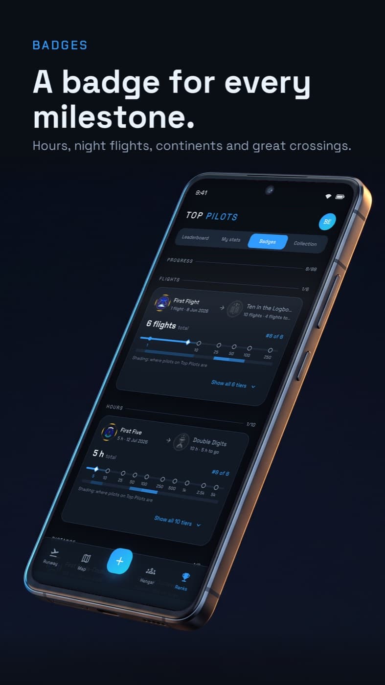
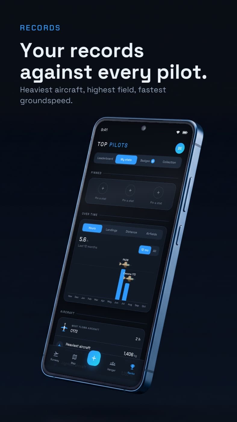
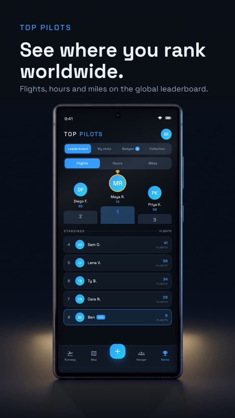
Every castle, summit and lake you have provably flown past goes into your collection. Hours, distance and new airports turn into badges and a place on the global leaderboard.

  • Personal records compared with every other pilot (“Top 12%”)
  • More than 70 badges — from night flying to crossing the Alps
  • Share cards with altitude and speed, ready for Instagram

Built for the cockpit.

Dark, clear and one-handed — this is Skytrails on your phone.

Private by default

Your logbook is yours.

Skytrails is built around data minimisation. You decide what you share — and it is enforced on the server, not only hidden in the app.

Read the privacy policy
Only you read your logbook
Flights, tracks and aircraft are visible to nobody else. Only crew you link on a flight can see that one flight.
Sharing only while you fly
Your live position is visible only to friends you pick, and it disappears as soon as the flight ends.
Photos stay on your phone
Skytrails stores only the ids of the photos in your library — the images themselves never leave your device.
No ads, no tracking
No advertising networks, no third-party analytics SDKs. You can delete your account yourself in the app at any time.

Frequently asked questions

How much does Skytrails cost?

Nothing. Skytrails is currently free. If we ever introduce paid features, we will say so clearly in advance — an existing free feature never becomes paid without notice.

Does Skytrails replace my official logbook?

No. Skytrails is a personal flight diary, not a pilot logbook within the meaning of any aviation regulation, and not a navigation or flight-planning tool. Always use approved equipment and official aeronautical information in flight.

Do I need an account?

Yes, a free profile — with email, Google or Apple. Your logbook, tracks and aircraft are still readable by you alone; you decide what others see.

Which files can I import?

ForeFlight logbook (CSV), Vereinsflieger (CSV), GPX and KML tracks, and the GPS track straight out of GoPro videos. Files from different sources merge into one flight.

Is there a web version?

Not yet. Skytrails is an app for iPhone and Android. Signing in from the browser is planned and will come to this site later.

How do I delete my account?

In the app under Profile → Delete account, at the very bottom. Everything else, including how to do it without the app, is on the “Delete account” page.

A wing with a red navigation light above the clouds at dusk. (AI-generated image)

Ready for take-off?

Get Skytrails for free and turn your next flight into a memory.

Coming soon to theApp StoreComing soon toGoogle Play